I Rebuilt Our Campus Map for Phones
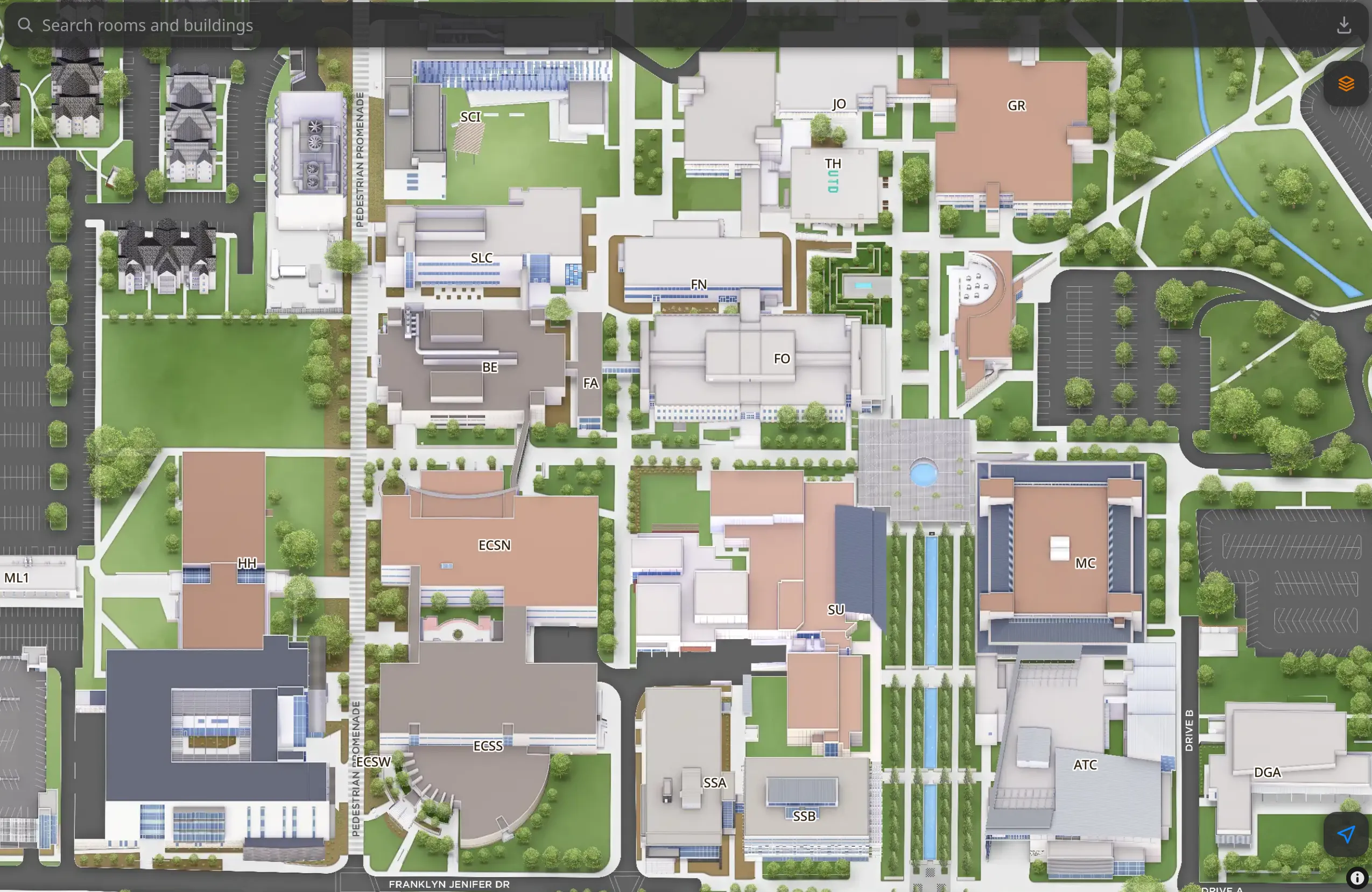
Every semester, thousands of students open the campus map on their phones to find a classroom. Usually it’s a quick check on the way to a building they haven’t been inside yet.
The university’s online map has what those students need. It has detailed floor plans for every building and a search that knows every room. It works best on a big screen, though, and on a phone it takes around seven seconds and a handful of taps before you can type a room number.
I’m a student here, and over the past few weeks I built a phone-first version of that map. It opens in about half a second and can walk you to your building with GPS.
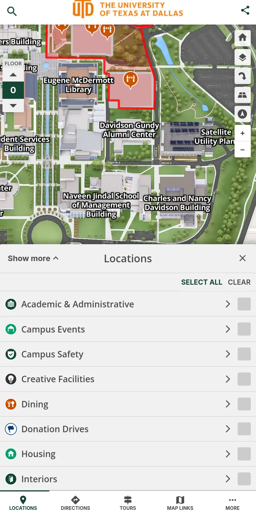
University map
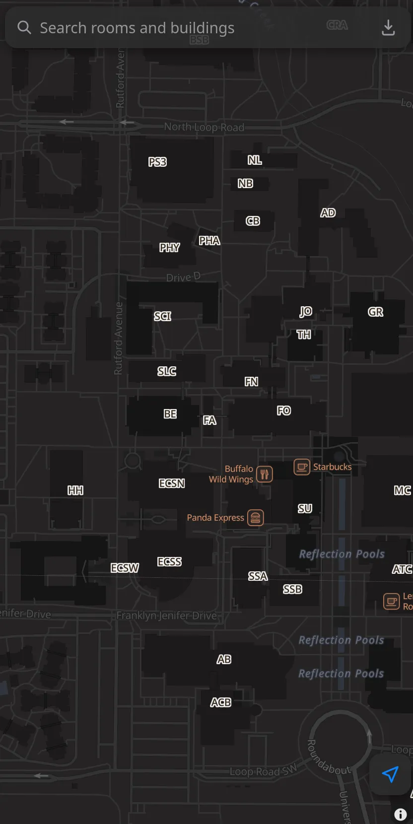
New map
Starting from the university’s own work
The hardest part of any campus map is the data, and the university had already done that work. Its floor plans are detailed and cover every building on campus.
I downloaded the map from the public site, spacing out my requests so the server would barely notice. From there, I spent my time on how the map feels in your hand.
From seven seconds to half of one
Speed came first. I packaged the map so it opens fast and puts the search bar front and center.
Most of the original’s time goes to the steps after the page loads, which feel quick at a desk and add up on a phone. On mine you can start typing the moment the map appears.
Built for the walk to class
I designed everything around one person: a student on their phone, a little rushed, trying to get somewhere.
The search bar sits right on the map, ready the moment the page opens. I turned off autocorrect so your phone stops “fixing” room numbers into words, and when you want to look up the next room you just type again.
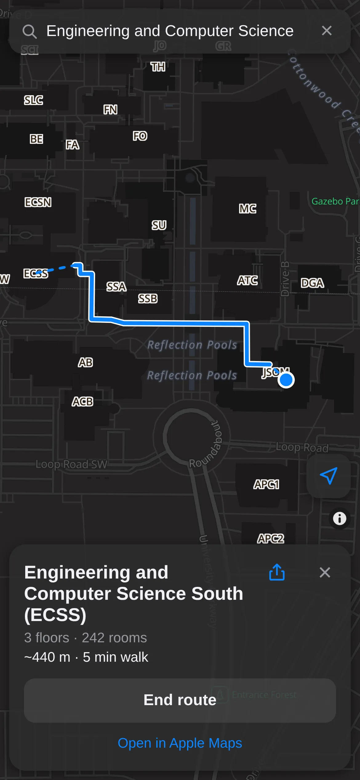
The map can show where you are using your phone’s GPS, and it will draw a walking route across campus to the building you picked. If you’re meeting a friend, you can share a building’s location, and when they open the link the map routes them straight there.
You can also install it to your home screen like an app and save the whole map for offline use.
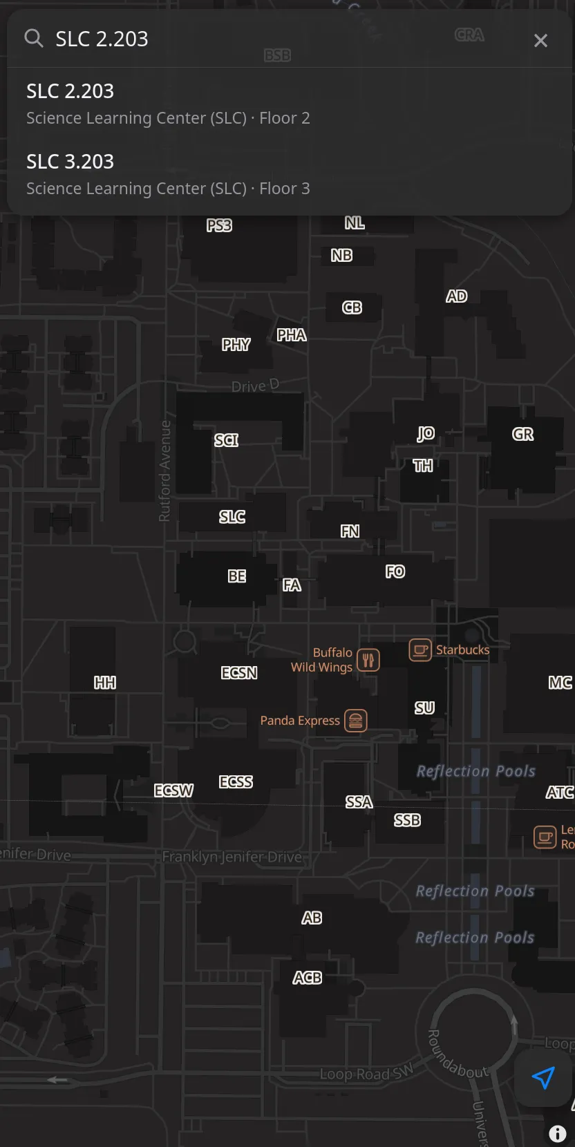
Search a room
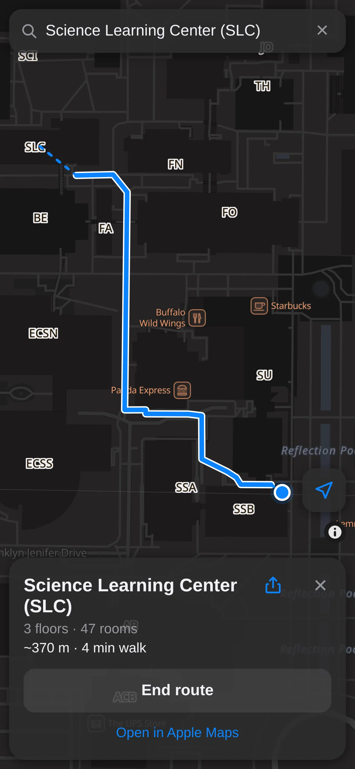
Walk there with GPS
How the directions work
Before writing any routing code, I checked whether it was even worth trying. OpenStreetMap had about 2,700 footways mapped on campus, and 88% of the path points connected into one big network. That was plenty to work with.
The routing itself uses A*, a classic pathfinding algorithm, running over compact arrays of data. A route takes just a few milliseconds on a phone, so the map can recalculate it every time your GPS position updates.
It does have some rough edges. OpenStreetMap has no usable building entrances for campus, so a route brings you to the nearest path beside your building, and from there you find the door yourself. It also stays outdoors, so once you’re inside, the floor plan takes over. And there’s a cluster of about 1,400 path points that sits apart from the main network, so routes can’t reach that corner yet.
Where it goes from here
Finding a room now takes about as long as typing its number. The university’s floor plans still do the heavy lifting, and this version puts them in a shape that fits a phone.
If you’re on campus, give it a try and tell me what it should do next. Building entrances are at the top of my list.